 This is the documentation for previous versions of GeoDesk (1.0 to 1.3). For the most recent version, please visit docs.geodesk.com.
Example: Railway Bridges
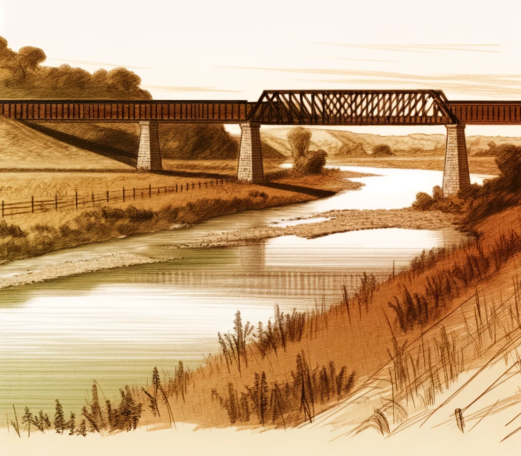
The Danube is the second-longest river in Europe, flowing from the Black Forest to the Black Sea. What if we wanted to find all the railway bridges that cross it — but only those in the German state of Bavaria?
This example demonstrates how to combine multiple filters to precisely select the features you want.
import geodesk

features = geodesk.Features("europe.gol")

bavaria = features(
    "a[boundary=administrative][admin_level=4][name:en=Bavaria]").one

danube = features("r[waterway=river][name:en=Danube]").one

rail_bridges = features("w[railway][bridge]")
rail_bridges(bavaria).crossing(danube).map(
    "rail-crossings", color="red", weight=8, opacity=0.5).show()
Notes
Administrative areas (such as countries and states) in OpenStreetMap form a hierarchy. The meaning of
admin_levelvaries between countries, but typically follows this scheme:2 country 4 state or region 6 county (U.S.), département (France), landkreis (Germany), provincia (Italy) 8 City 10 Village or suburb While most water courses are mapped as simple ways (which you can retrieve with
w[waterway]), larger rivers are typically represented using relations (r)